Large data collection in Norrköping to facilitate future urban planning
Norrköping has recently been the focus of an extensive data collection project utilizing advanced technologies. The data, collected by various entities, will play a central role in developing digital twins of our cities, enabling improved urban planning and research across multiple fields.
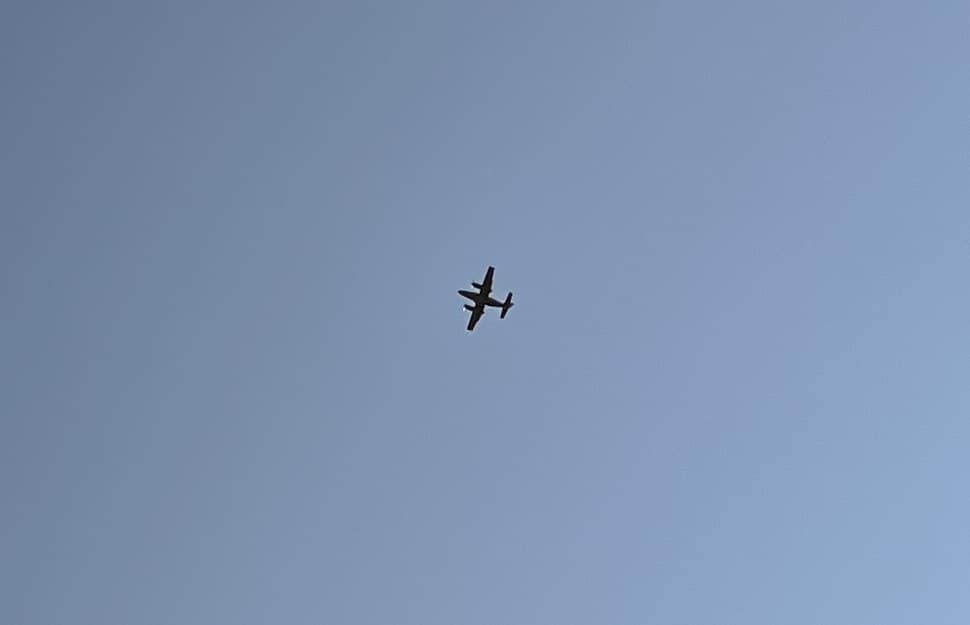
Have you noticed more airplanes over Norrköping lately or an unusual bike being ridden along the city’s roads? This is all part of the ongoing data collection project. A variety of techniques have been employed, both from the air and on the ground.
From airplanes, we’ve collected thermal images that measure temperatures, as well as hyperspectral images that allow us to distinguish everything from material types to the health of plants, explains Erik Telldén, one of the project’s leaders. On the ground, a bike from Linköping University has been equipped with various cameras, including 360-degree cameras, and the Norrköping Municipality has contributed with ground measurements using a laser scanner and total station. Additionally, drones have been utilized, and during weeks 36-37, scanning will be conducted with a survey vehicle from VTI.
The collected data will have several applications, both in the short and long term.
In the short term, the data will be used within the Visual Sweden City Platform project to explore how different data sources can be utilized in the construction of digital twins of our cities, says Erik Telldén. Application areas include physical planning, autonomous systems with drones, and traffic simulators, with a particular focus on pedestrians and cyclists. The data will also be made publicly available to enable broad research activities in areas such as environment, sustainability, and the development of self-driving vehicles.
Although everything went well this time, the data collection was supposed to take place a year ago. However, the right conditions are required for the advanced sensors on the airplane to function optimally. These conditions were lacking last year.
A hyperspectral imaging of the city relies on light being reflected from various surfaces and captured by the airplane’s camera system. To get optimal images, the sun needs to be as high as possible in the sky, and it must be cloudless, Erik Telldén explains.
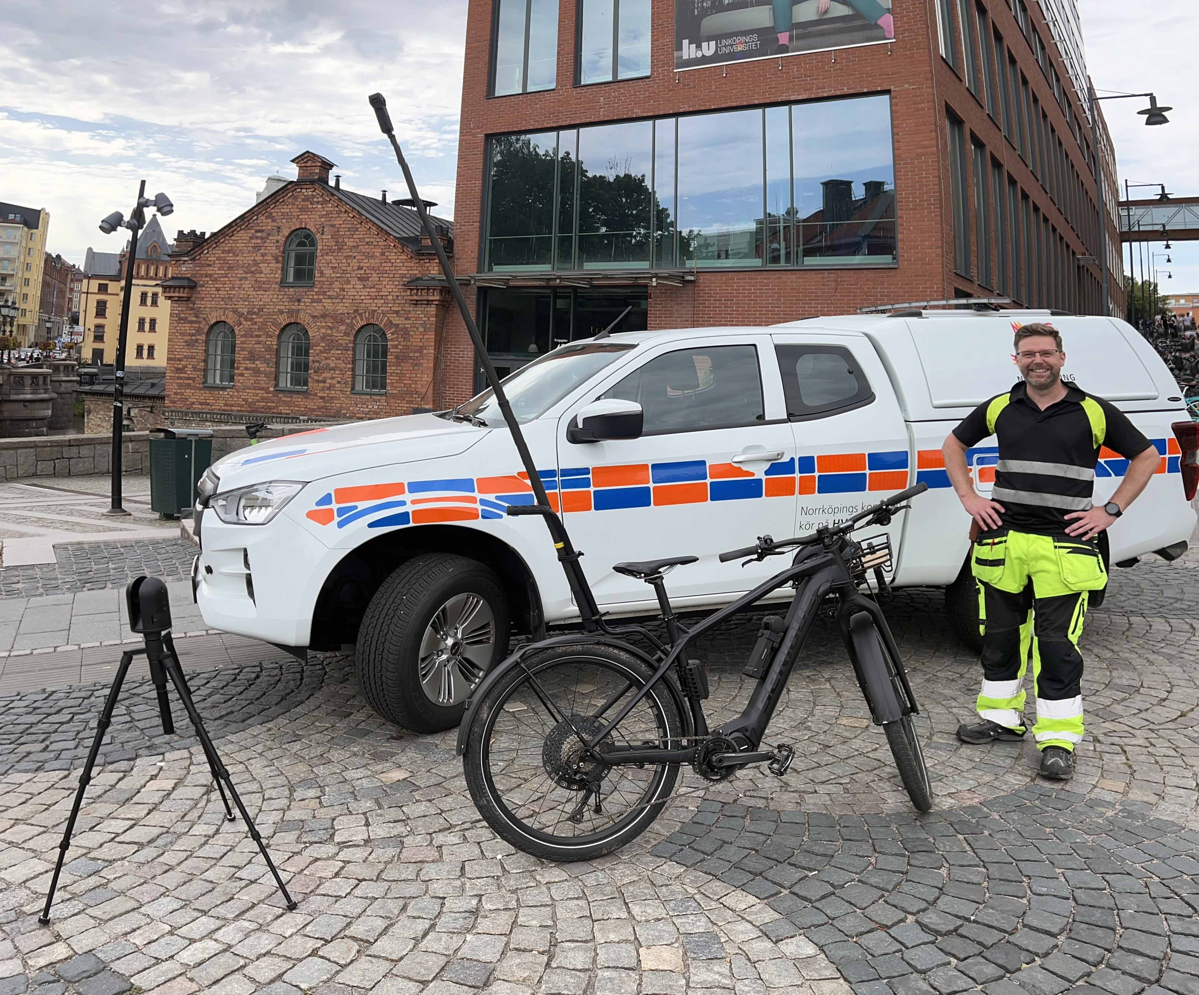
The bike from Linköping University, which has been equipped with various cameras, including 360-degree cameras.
The unstable summer weather posed challenges, and Erik Telldén points out that many factors must align for such a flight to be carried out.
Now that the first phase of data collection is complete, the work of compiling and assessing the quality of the collected material begins. The data will also be made publicly available in the future.
Next, the second phase will commence with scanning both Norrköping and Linköping using VTI’s new survey vehicle. The collected data will continue to contribute to research and the development of future smart cities, Erik Telldén concludes.
The project’s financiers are the strategic innovation program Smart Built Environment and Aero EDIH.

Relaterat
In this film, you will meet Mario Romero, new scientific leader for Visual Sweden and senior associate professor at Linköping University since the beginning of 2025. We discuss Mario's background, his views on areas such as visualization and image analysis, why these are important for Sweden in the future, and much more.
26 Mar 2025
Den 9 maj 2025 skriver den svenska långfilmen UFO Sweden historia när den släpps på biografer i USA som världens första visuellt dubbade långfilm. Med hjälp av nyinspelad engelsk dialog av skådespelarna och AI-justerade läpprörelser har filmen gått från att vara på svenska till att bli en engelskspråkig film. Nu släpps en första titt på “Watch the Skies” som filmen heter på engelska.
21 Mar 2025

Följ NOSP