
Large data collection in Norrköping to facilitate future urban planning
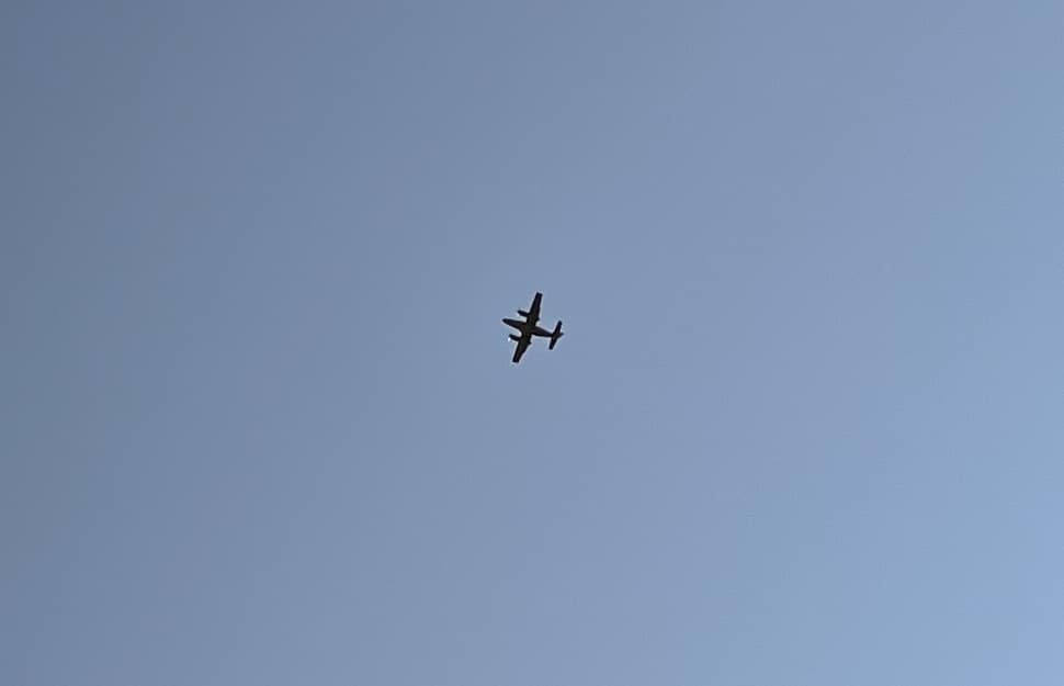
Have you noticed more airplanes over Norrköping lately or an unusual bike being ridden along the city’s roads? This is all part of the ongoing data collection project. A variety of techniques have been employed, both from the air and on the ground.
From airplanes, we’ve collected thermal images that measure temperatures, as well as hyperspectral images that allow us to distinguish everything from material types to the health of plants, explains Erik Telldén, one of the project’s leaders. On the ground, a bike from Linköping University has been equipped with various cameras, including 360-degree cameras, and the Norrköping Municipality has contributed with ground measurements using a laser scanner and total station. Additionally, drones have been utilized, and during weeks 36-37, scanning will be conducted with a survey vehicle from VTI.
The collected data will have several applications, both in the short and long term.
In the short term, the data will be used within the Visual Sweden City Platform project to explore how different data sources can be utilized in the construction of digital twins of our cities, says Erik Telldén. Application areas include physical planning, autonomous systems with drones, and traffic simulators, with a particular focus on pedestrians and cyclists. The data will also be made publicly available to enable broad research activities in areas such as environment, sustainability, and the development of self-driving vehicles.
Although everything went well this time, the data collection was supposed to take place a year ago. However, the right conditions are required for the advanced sensors on the airplane to function optimally. These conditions were lacking last year.
A hyperspectral imaging of the city relies on light being reflected from various surfaces and captured by the airplane’s camera system. To get optimal images, the sun needs to be as high as possible in the sky, and it must be cloudless, Erik Telldén explains.
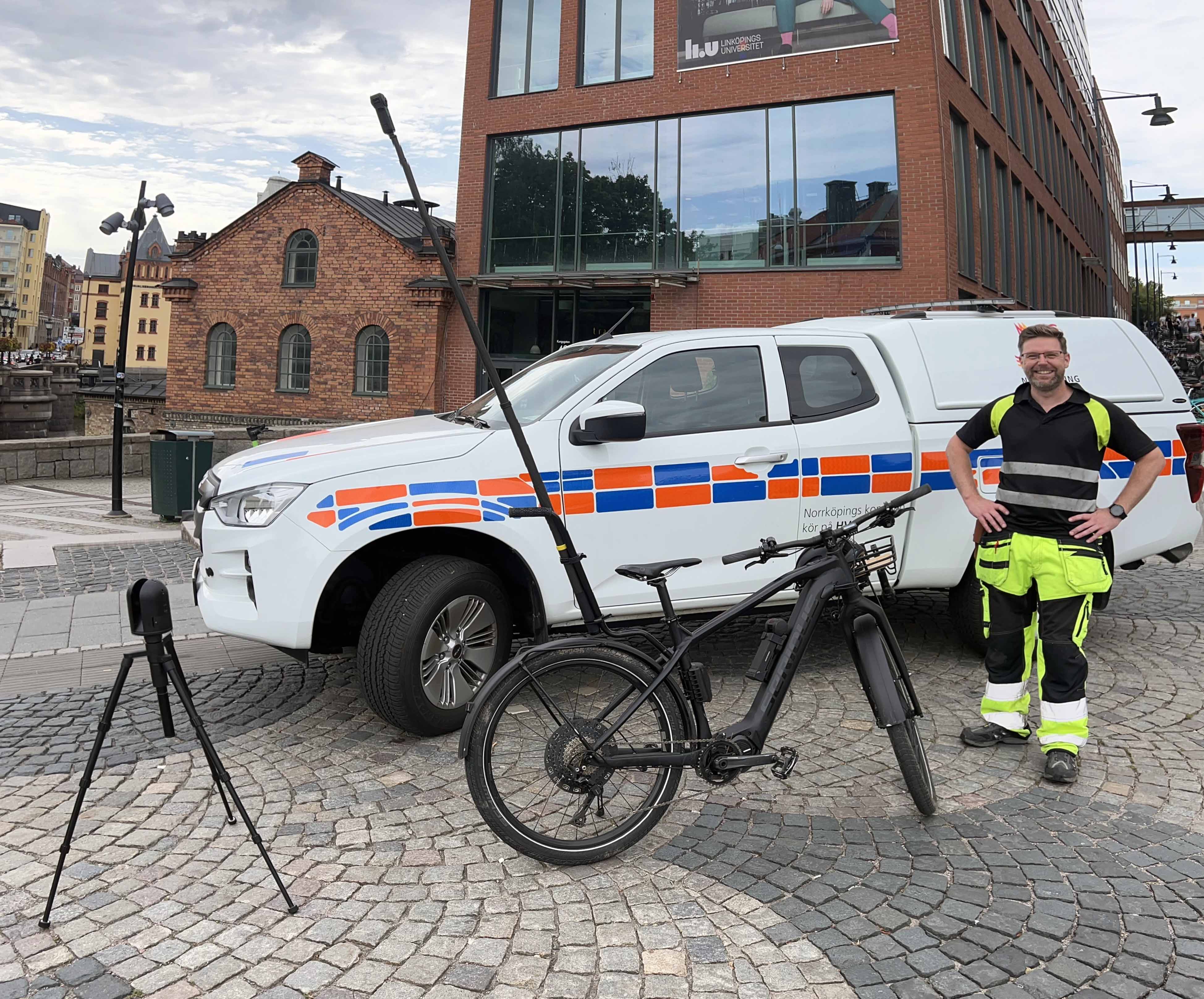
The bike from Linköping University, which has been equipped with various cameras, including 360-degree cameras.
The unstable summer weather posed challenges, and Erik Telldén points out that many factors must align for such a flight to be carried out.
Now that the first phase of data collection is complete, the work of compiling and assessing the quality of the collected material begins. The data will also be made publicly available in the future.
Next, the second phase will commence with scanning both Norrköping and Linköping using VTI’s new survey vehicle. The collected data will continue to contribute to research and the development of future smart cities, Erik Telldén concludes.
The project’s financiers are the strategic innovation program Smart Built Environment and Aero EDIH.

Related news
IAS Business Academy is an international cooperation project led by Tartu Science Park in collaboration with partners from Finland and Sweden. The program aims to help innovative drone and aerial service companies (Innovative Aerial Services – IAS) scale and internationalize by providing knowledge, networks, and practical opportunities
20 Oct 2026

Vill du leda en europeisk satsning där AI, flyg och drönare möts, och där företag och offentliga verksamheter får hjälp att ta nästa steg? Hos oss får du ansvaret för Aero EDIH(European Digital Innovation Hub) Ai och håller ihop ett konsortium med Linköpings universitet, Lunds universitet, RISE och Linköping Science Park.
20 Oct 2026

Den 1 juni 2026 startade Visual Synergy, ett treårigt ERUF-projekt som ska stärka små och medelstora företags digitala mognad och innovationsförmåga genom avancerad visualisering – digitala tvillingar, XR och AI-driven visualisering.
21 Sep 2026